


Flood insurance premiums to change from some Placer residents
(Placer County, 2018)
Roseville, CA- Some Placer residents can look forward to lower flood insurance premiums as the Federal Emergency Management Agency prepares to issue new flood maps for the region. But in a number of areas, including some mapped for the first time ever, flood risk has increased and will change flood insurance requirements and costs for some property owners.


The new maps are complete and will become effective Nov. 2. Residents whose properties are affected by map changes were notified by mail at the end of June. FEMA’s last mapping update in the county was in 2001.
Residents wanting to learn more about the new flood maps may attend a public meeting hosted by the City of Roseville and Placer County Department of Public Works and Facilities at the Maidu Community Center in Roseville on Aug. 7. FEMA representatives will be on hand to talk with property owners about flood map changes, impacts and how to obtain flood insurance.

Cheaper Insurance Before Effective Date
Residents are encouraged to attend the meeting as flood insurance is cheaper if purchased prior to the maps becoming effective and it takes 30 days for a new policy to activate.
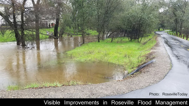
The maps cover the entire county, including cities as well as Placer’s unincorporated areas. Over time, water flow and drainage patterns change, so the new maps more accurately reflect the flood risk in Placer County. An estimated 619 parcels are no longer shown in high-risk flood zones on the new maps and 712 estimated parcels have been added to high-risk flood zones.
Where to Expect Largest Map Changes
The largest map changes for the county are in the areas of Squaw Creek, Bear Creek in Alpine Meadows and Linda Creek in Granite Bay.
The number of affected parcels is approximate, as it reflects a comparison of the current flood insurance rate maps, which are paper maps, and the new pending digital flood insurance rate maps.
FEMA’s flood insurance rate maps identify where flooding is likely to occur in the areas studied (along major creeks and rivers), and establish flood insurance premium rates and whether flood insurance is mandatory for properties with federally-backed mortgages.
Many Placer communities have earned high ratings in FEMA’s Community Rating System, which offers discounted rates under the National Flood Insurance Program to communities that reduce flood risk through smart flood plain management and public outreach and education.
Roseville Investment in Flood Protection
Because of Roseville’s $20 million investment in flood protection, it remains the nation’s only community to achieve the highest class 1 rating. This means Roseville property owners receive up to a 45 percent discount on flood insurance. Placer County’s unincorporated areas have a class 5 rating, giving residents a 25 percent discount on flood insurance and putting the county in the top 10 percent of the nearly 1,400 communities that participate in the program nationwide.
The final maps are available for review now on FEMA’s website
(21+ years strong)
Welcome to the brighter side!
Get in front of local customers! 24/7 (365)


